Awareness
Understanding how suddenly coastal conditions can become dangerous.
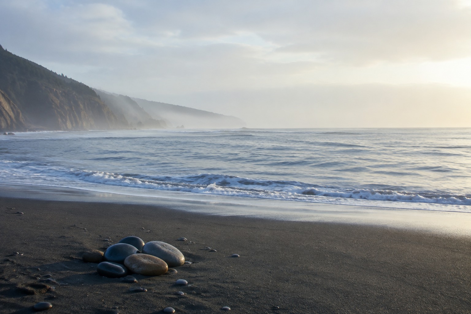
Behind ShoreSense is a longer effort to understand why coastal hazards remain difficult to anticipate and how technology can help trained responders see risk sooner.
The work grew from the loss of Arunay to a sneaker wave and the beach-safety work that followed through the Arunay Foundation. That experience made the gap between knowing that the ocean is dangerous and recognizing a specific moment of danger impossible to ignore.
ShoreSense began with a question: what would it take to connect what the shoreline is doing, where people are, and how rescue resources can respond?
Beach-safety information is usually split across weather forecasts, tide stations, cameras, lifeguard observations, water-quality systems, and emergency-response tools. Each can be useful. Few are designed to understand the interaction among them.
A swimmer moving offshore matters differently when visibility is poor, rescue coverage is distant, a channel is forming, and wave conditions are changing. ShoreSense was built around those relationships.
Understanding how suddenly coastal conditions can become dangerous.
Working on beach-safety education and access to rescue resources.
Studying whether offshore wave spectra contain transferable information about coastal water-level oscillations.
Integrating physical sensing, computer vision, prediction, and response coordination in one prototype.
Earlier warning is not one sensor or one model. It is the ability to understand a changing shoreline quickly enough to act.
ShoreSense was founded and engineered by Roshan Saxena as an effort to connect coastal science with practical public-safety decisions.
See how coastal sensing, edge intelligence, a littoral digital twin, and response coordination work together.
View the systemExplore the spectral-index study that informs ShoreSense’s environmental-intelligence layer.
View the researchLearn more about the research, the system, or future coastal validation.
Get in touch